NavSeaView®


NavSeaView® trademark

Concept certified and registered

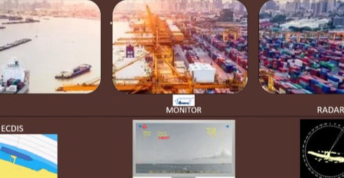
NAVSEAVIEW basic idea is the creation of a tool, that will be used to augment mariners’ view when at sea, especially when approaching coastlines, passages, channels, ports entrances and other sea areas of special navigational interest. This tool will be implemented in an independent platform way (local, online, dedicated network, etc.).
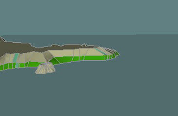
The core of NAVSEAVIEW is a software engine, that uses real photos of the coastlines to create a 3-dimensional modeling of them, to re-produce them before the eyes of the navigator at the level of observation requested (sea level, bridge level, low altitude level). Additional information for any digital means is also projected upon request to form a complete augmented real-time sea view of the area in question (vessel’s position, port entrance to arrive, etc.).


Made with
No Code Website Builder